


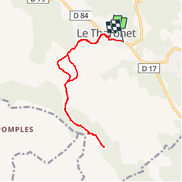

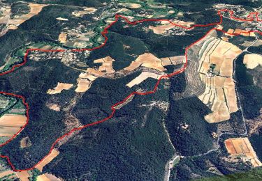
12.3 km | 16.5 km-effort


User


FREE GPS app for hiking
 SityTrail
IGN / Geographical institutes
SityTrail World
The world is yours!
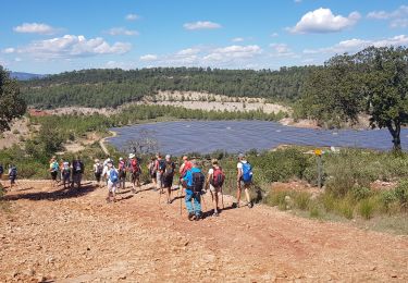
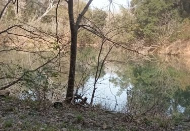
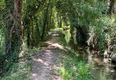
Trail Nordic walking of 7.9 km to be discovered at Provence-Alpes-Côte d'Azur, Var, Le Thoronet. This trail is proposed by alainsci.
Exécution du Topo Guide édité par la communauté de commune Coeur du Var.


Walking

Walking
Walking

Walking
Walking

Walking

Walking
Walking

sport